Month: May 2018

South Sister Prouty Glacier

May 14, 2018

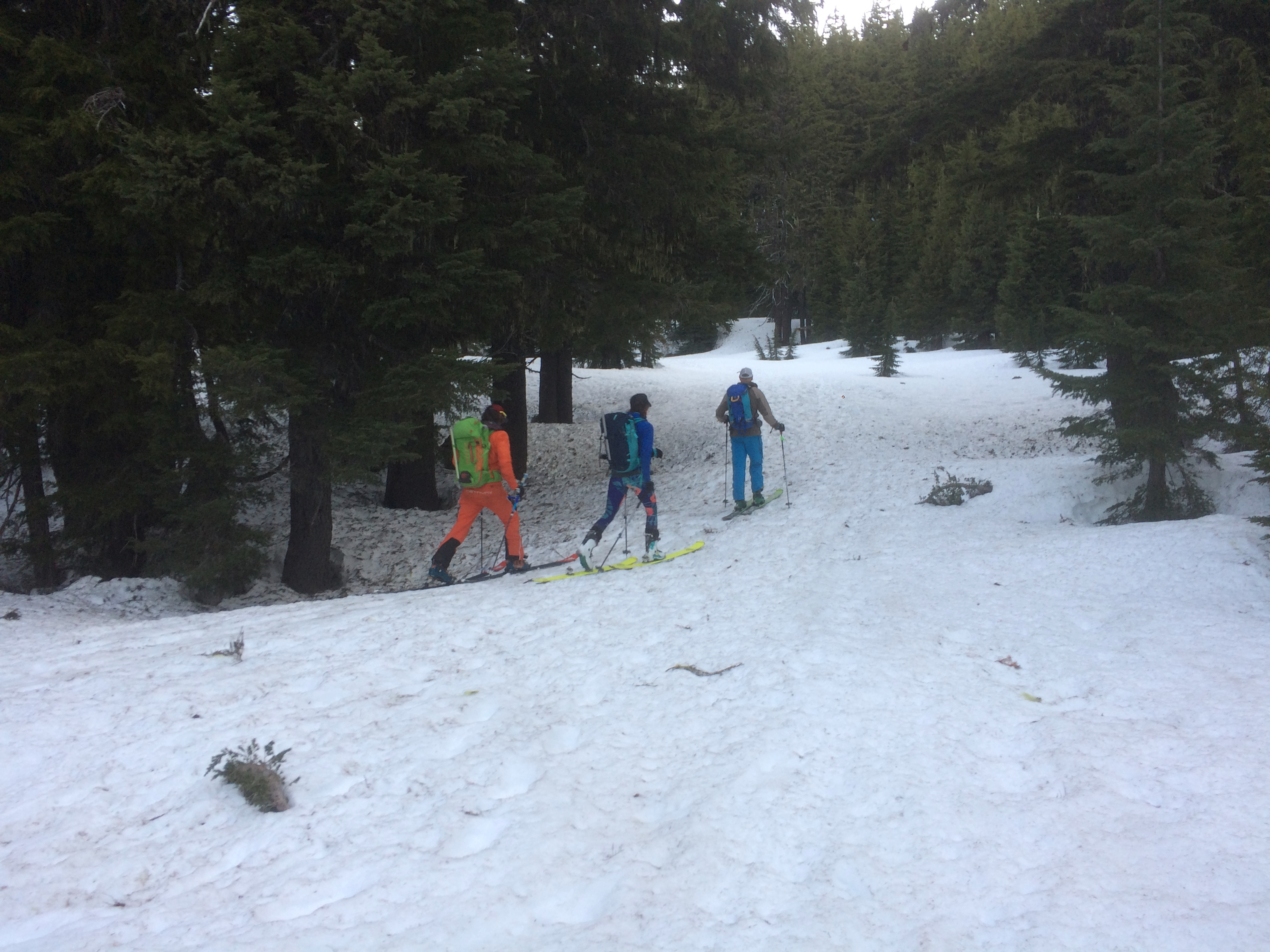
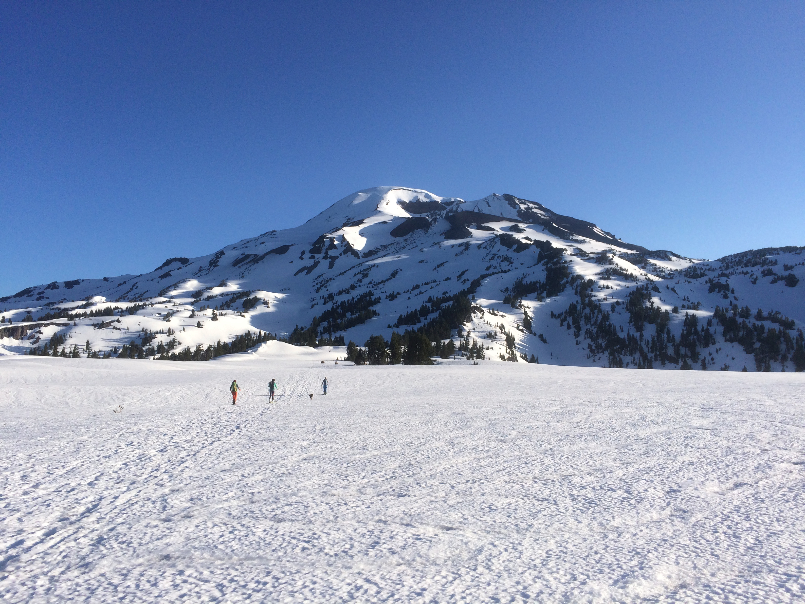
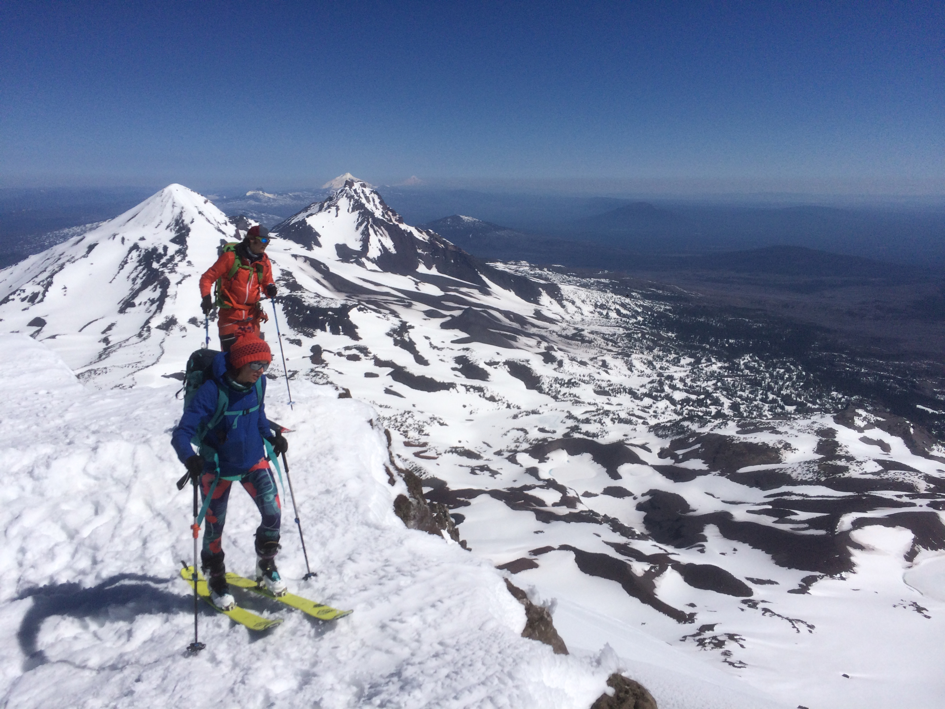
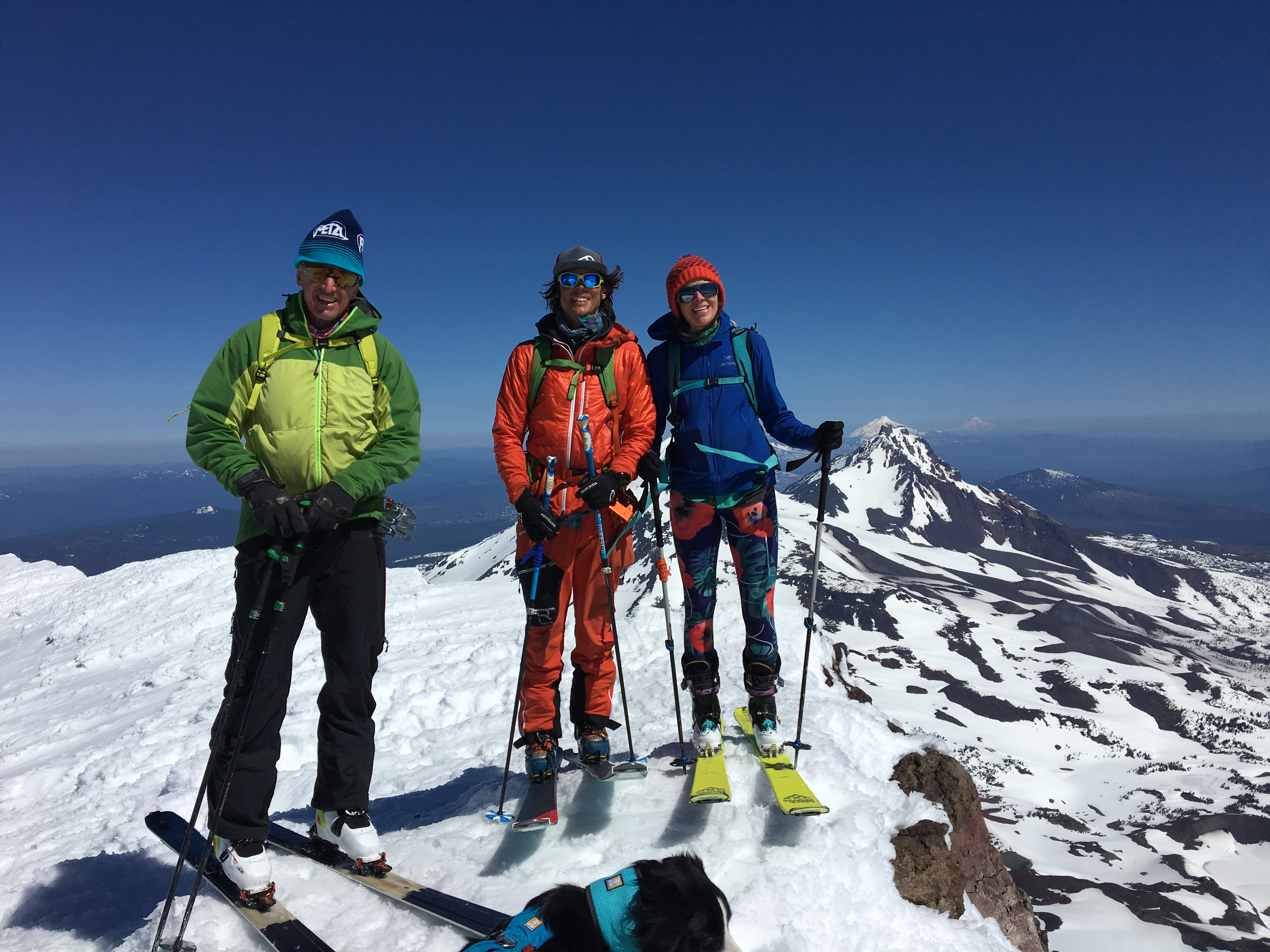
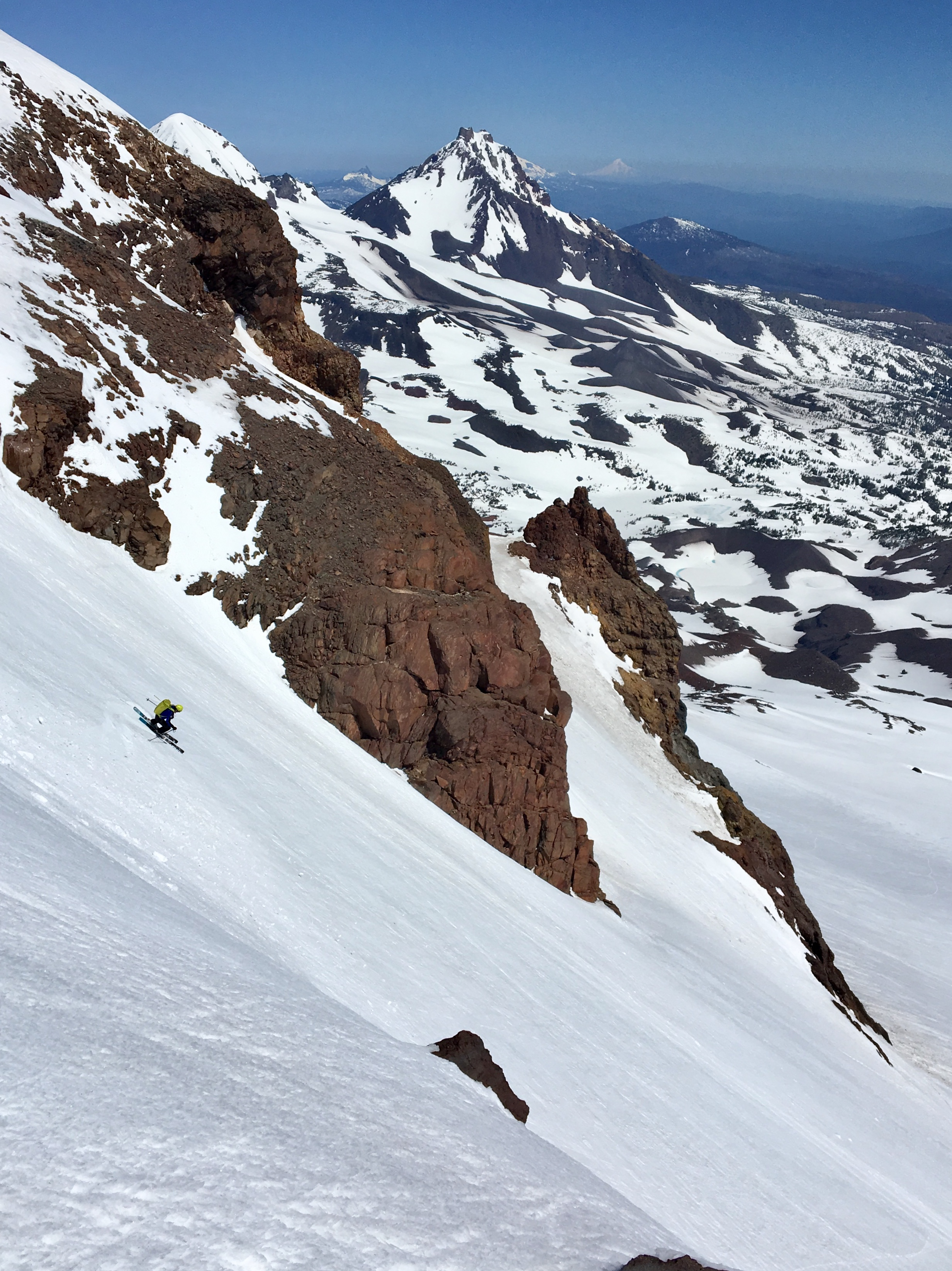
Had a chance to go to Oregon for some work and had an extra day, fortunately it was spectacular weather. My friend in Bend OR wanted to ski the Prouty Glacier on the South Sister. The trail head is about 30 minutes from Bend. From the trail head the route climbs just under 5000 feet to the summit. From there we skied the Prouty Glacier side of the mountain down to Green Lake. To return to our car we then had to circumnavigate about 1/4 of the mountain to rejoin our uptrack about 1200 feet above the car.

Here are two maps a slope angle shaded (key is in the NE corner) and a regular topo. Both are Geopdf’s that will go into the Avenza App
Slope Shaded Map 
Topo Map

Here is the the track both as a .gpx and .kml
South Sister GPX (Some browsers add a .xml extension, delete the .xml leaving only the .gpx extension before saving)
KML

Here is a video and some photos of the tour.

Posted by Marc Chauvin in Mountain Biking

Ski Touring in Iceland’s Troll Peninsula

In April 2018 I went to Iceland with Andy to ski tour. The touring in Iceland’s Troll Peninsula is logistically simple in that tours start right from the road, there are no trees to obscure routes, and the mountains are below 4000 feet with tours starting from virtually sea level. In the 9 days we were in the Troll we toured 7 days, taking 2 weather/rest days.

Below you’ll find a little video of the trip, the .GPX and .KML file of our tours, and links to Geopdf’ maps of the tours. There are two maps; one is just a topo map the other is slope angle shaded so you can better see slope steepness for planning and avalanche terrain identification. The key to the slope shade colors is in the NE corner of the slope shade map. Since the maps are Geopdf’s they will sync with your phone’s GPS with the Avenza app. You can get them into Avenza with the QR code on the bottom right corner of the map sheet. Here are the links:

Iceland GPX (Some browsers add a .xml extension, delete the .xml leaving only the .gpx extension before saving)
.KML File
Geopdf Topo Map
Geopdf Slope Shaded Map

Enjoy the video remember to put your settings on HD!


Posted by Marc Chauvin in Mountain Biking